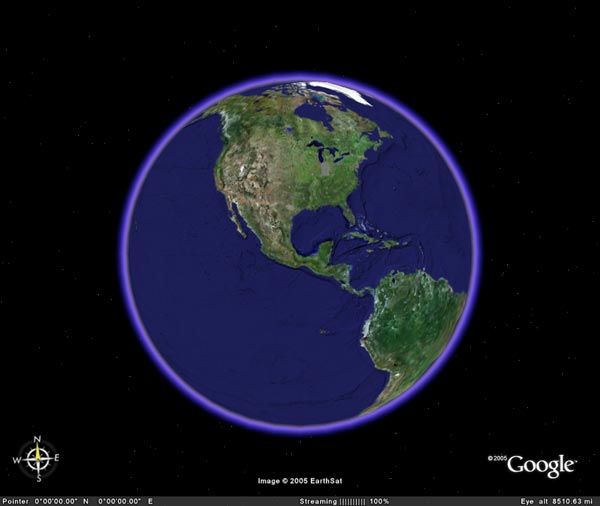
Google Earth uses maps, satellite imagery and Google's capabilities to create a phenomenal new geographic resource. Download the free version and you start off with a cartoonish picture of the Earth:
Then key a location in the search box in the upper left corner: say, Pensacola, Florida. You'll be treated to a Superman perspective, flying into the bay city from outer space. After such a long journey, you might be in need of food, lodging or local information. Specify layers by checking the corresponding boxes in the lower lefthand corner to locate nearby banks, hotels, shopping malls, or posts left by other Google Earthers. You can reduce altitude to as low as 0 ft, and even tilt your view and gain a 3D perspective of terrain and buildings.
It's a work in progress. Images were gathered over the last 3 years, and if you're unlucky, the spot you wanted to peep in on may have been under cloud cover at the time the satellite passed by. In time we can expect to see greater detail, including building textures and enhanced topography.

No comments:
Post a Comment